Chief Meteorologist Patrick Rockey's First Warning Forecast
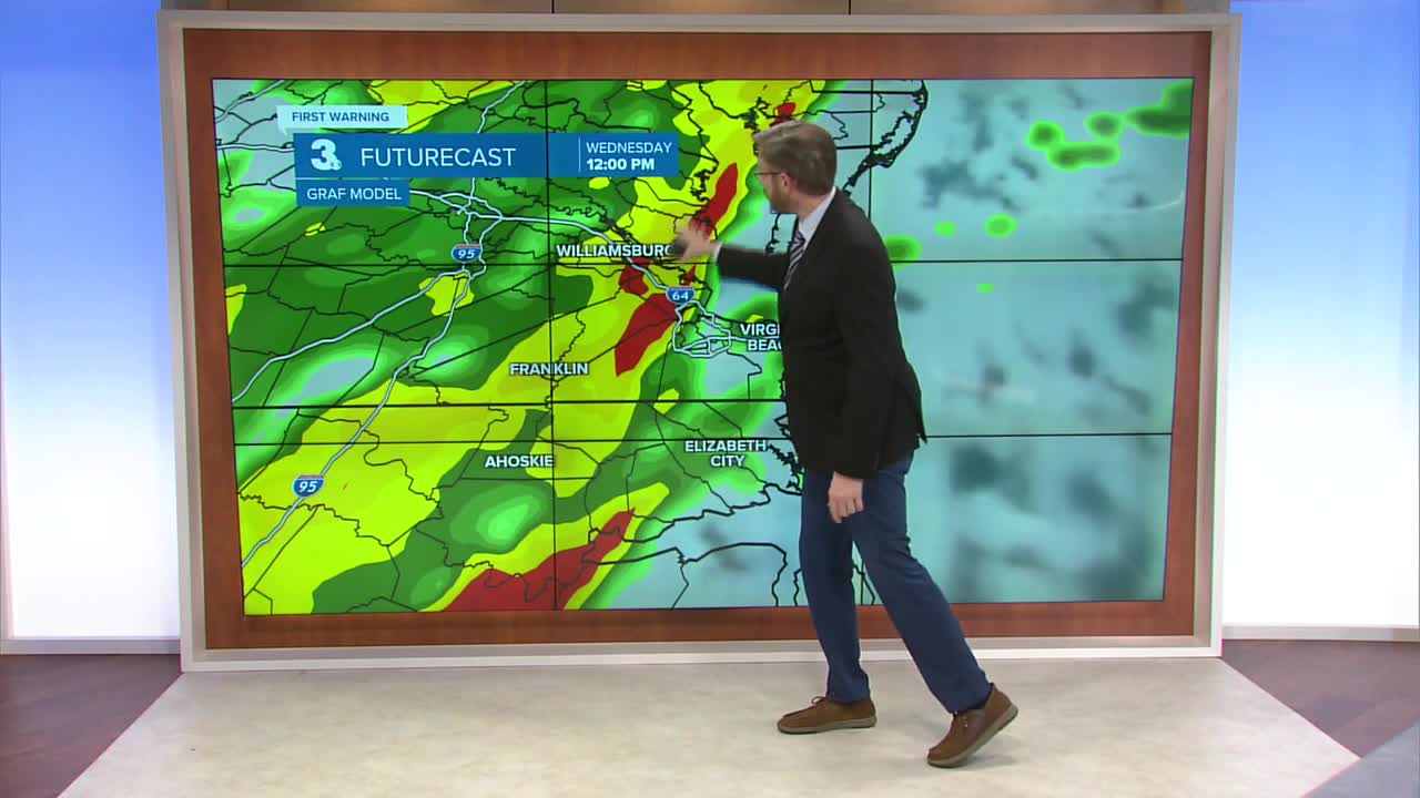
Our unusually warm December weather isn't going to go away quietly. An approaching cold front, along with an area of low pressure, could spark some mean storms on Wednesday.

Our entire region is under a heightened risk for severe storms, with the biggest threat from Virginia Beach and Chesapeake through the Albemarle and Outer Banks of North Carolina.

Our primary concern will be damaging straight-line wind gusts that could approach 60 miles per hour. Also, heavy downpours could cause some localized flooding. And an isolated tornado is certainly possible, especially along the North Carolina coast.

Our entire region is in a drought, so any rain is welcome. And some heavy downpours are likely with this system. We're expecting 1-2 inches of rain for most of us, with some localized are that could pick up even more.

Once the front crosses the region, temperatures will plunge about 20 degrees to end the workweek. We'll go from near 70 on Wednesday to highs in the upper 40s on Thursday and Friday. Stay tuned.
Weather updates on social media:
Facebook: PatrickRockeyWeather
Instagram: @patrickrockey
X (Twitter): @PatrickRockey


