


Meteorologist Myles Henderson’s First Warning Forecast
Tracking rain to end the work week. Highs dropping from the 70s to the 60s. Clearing skies and windy this weekend.
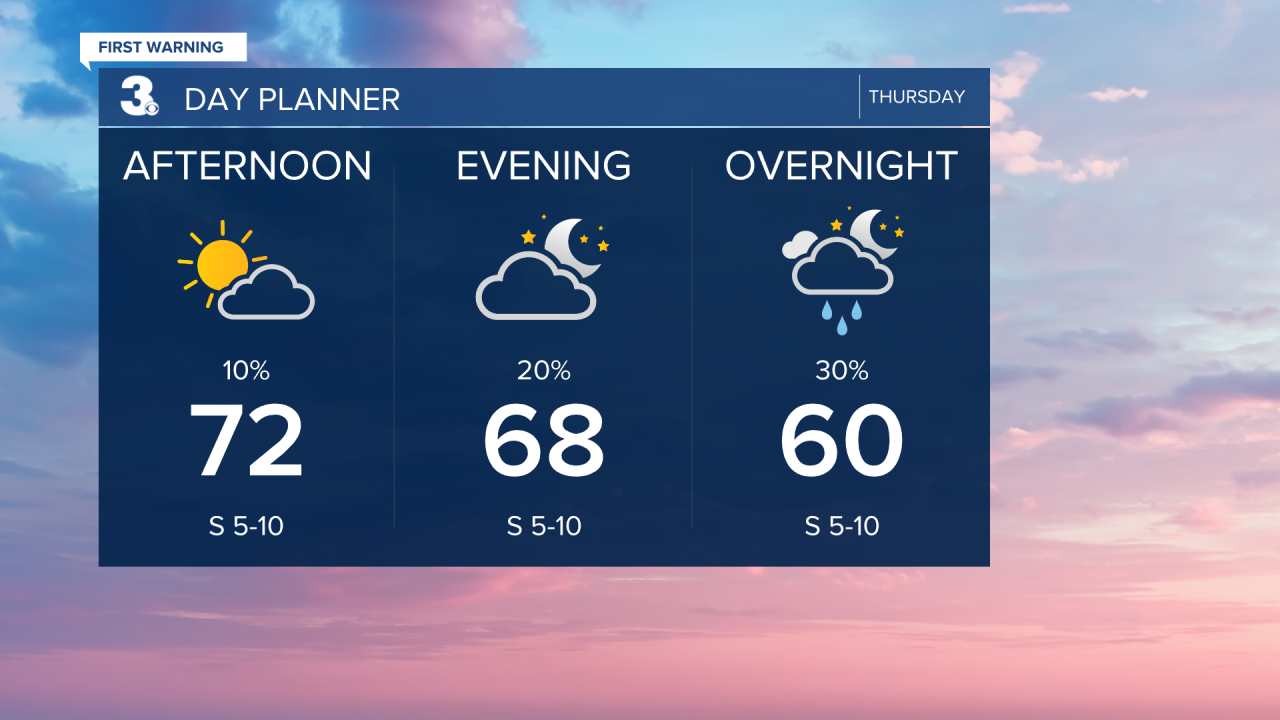
Highs will reach the low 70s in the afternoon, near normal for this time of year. Clouds will build in this afternoon to evening. A scattered shower is possible this evening and tonight.
We will see a mix of sun and clouds through the day on Friday with scattered showers and an isolated storm possible. Most areas will only get 0.1” to 0.5” of rainfall. Highs will return to the low 70s.
Cooler air moves in and winds pick up for the weekend. Highs will drop from near 70 on Saturday to the mid 60s on Sunday. W/NW winds will reach 10 to 20 with gusts to 30 mph. Look for clearing skies on Saturday with a leftover shower possible. Expect mostly sunny skies on Sunday.

Today: Mostly Sunny to Partly Cloudy. Highs in the low 70s. Winds: S 5-10
Tonight: Building Clouds, Showers. Lows in the upper 50s. Winds: S 5-10
Tomorrow: Sun & Clouds, Showers. Highs in the low 70s. Winds: S 5-10
Weather & Health
Pollen: Low (Ragweed, Grasses)
UV Index: 4 (Moderate)
Air Quality: Good (Code Green)
Mosquitoes: High
Tropical Update
Tropical Storm Tammy forecast to strengthen as it approaches the Lesser Antilles. On the forecast track, the center of Tammy will move near or over the Leeward Islands Friday and Saturday. Additional strengthening is forecast during the next couple of days and Tammy could be near hurricane intensity by the end of the weekend.

Weather updates on social media:
Facebook: MylesHendersonWTKR
Twitter: @MHendersonWTKR
Instagram: @MylesHendersonWTKR
