


Meteorologist Myles Henderson’s First Warning Forecast
Warmer and breezy to end the week with highs in the 70s. Tracking rain and a severe storm threat to start next week.
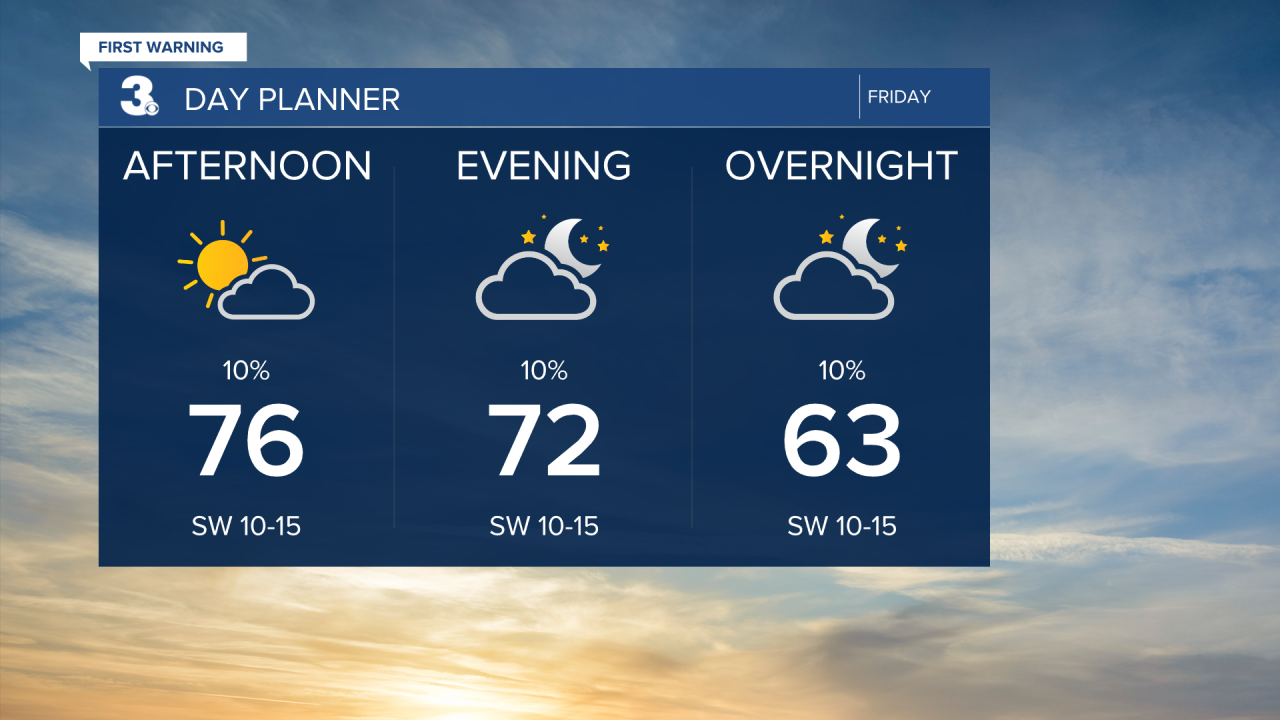
Much warmer today with highs climbing to the mid 70s, about 15 degrees warmer than yesterday. Expect partly cloudy skies today with slim rain chances. Winds will kick up today, mainly SW at 10 to 15 and gusts 20 to 25 mph.
It will be a warm and windy weekend. Highs will climb to the upper 70s both days. Expect a mixture of partly to mostly cloudy skies with a spotty shower possible. It will be windy both days with a SW wind at 10 to 20 mph.

A bigger chance for rain and storms is set to move in with a cold front on Monday. Strong to severe thunderstorms are possible. Highs will drop from the upper 70s on Monday to the low 60s on Tuesday, behind the cold front.

Today: Partly Cloudy, Breezy. Highs in the mid 70s. Winds: SW 10-15
Tonight: Partly Cloudy, Breezy. Lows near 60. Winds: SW 10-15
Tomorrow: Mix of Clouds, Breezy. Highs in the upper 70s. Winds: SW 10-20
Weather & Health
Pollen: High (Trees, Grasses)
UV Index: 6 (Medium)
Air Quality: Good (Code Green)
Mosquitoes: Low
Weather updates on social media:
Facebook: MylesHendersonWTKR
Instagram: @MylesHendersonWTKR
