Chief Meteorologist Patrick Rockey’s First Warning Forecast
The historic peak of the hurricane season is just two weeks away, and right on time the tropics are starting to get busy.
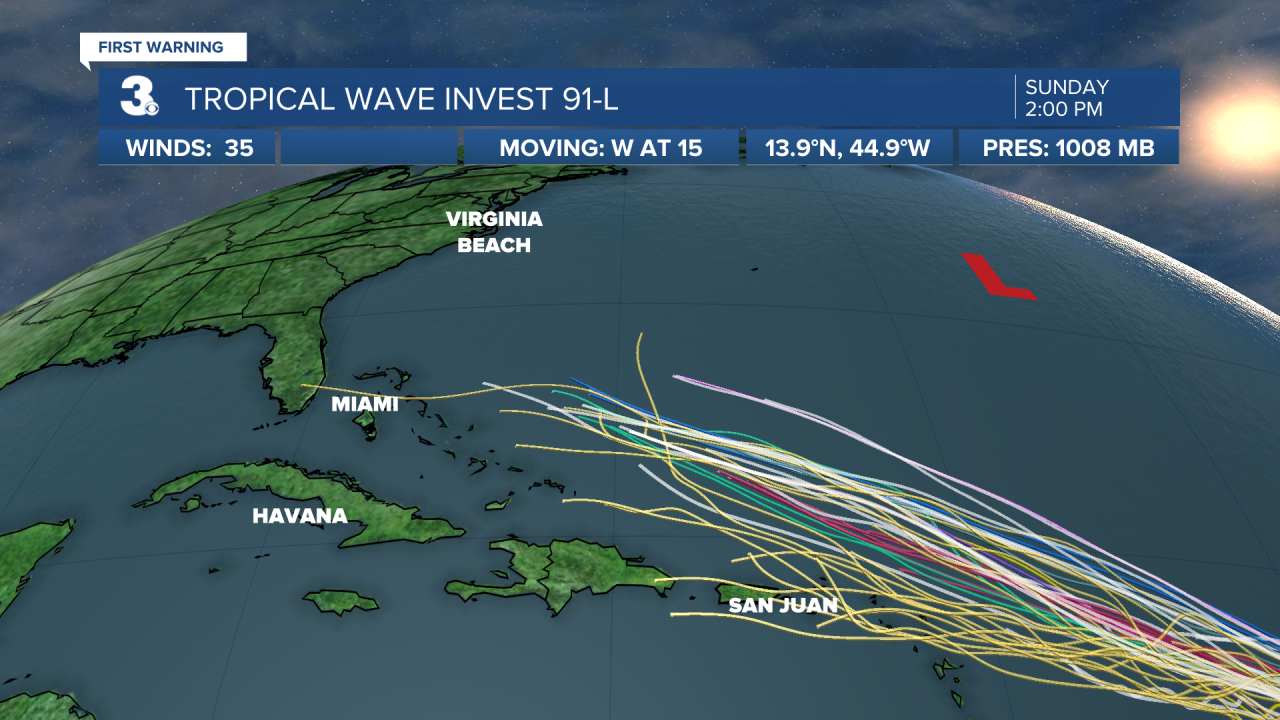
We are tracking a strong tropical wave making its way through the Atlantic that has a 70% chance of developing into a tropical system over the next five days.

The preliminary forecast models take the storm toward the Bahamas and generally toward the East Coast as we head into next weekend.

Despite early forecast for a busy hurricane season, it has been unusually quiet with just three named storms.
But as we always say it only takes one to make it a bad season. And we will be tracking this latest tropical wave very closely.
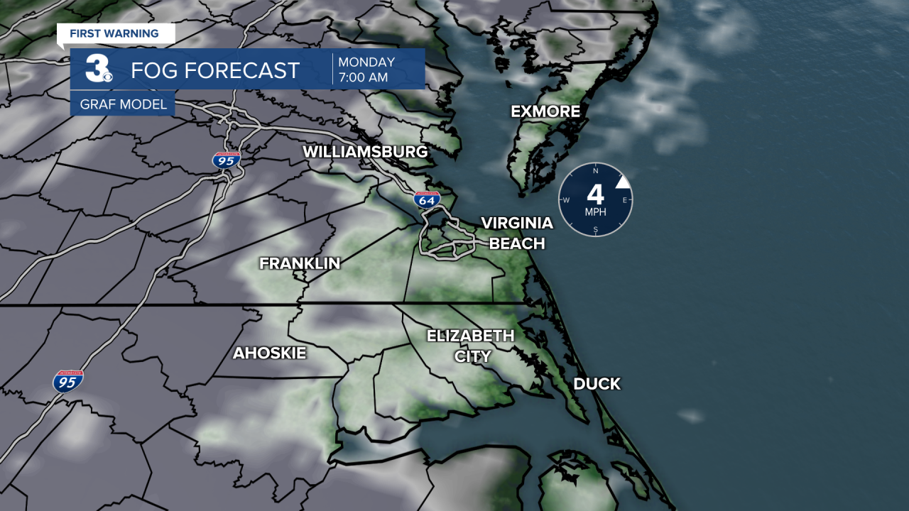
Back here at home, we may takeoff the work week with some areas of dense fog for your Monday morning commute.

After that, expect some very steamy weather as we head toward the end of August.
Over the next few days expect partly cloudy skies with high temperatures climbing into the upper 80s in the lower 90s. Heat index values will push into the upper 90s to near 100°.
On Wednesday afternoon with an approaching cold front scattered showers and storms are possible.
Behind the cold front, we will kick off September with lower temperatures and lower humidity.

Expect plenty of sunshine and near normal high temperatures on Thursday. We should top out in the mid 80s. And temperatures will drop a few degrees below normal on Friday and into the weekend.


