


Meteorologist Myles Henderson’s First Warning Forecast
A chilly and soggy week ahead. Snow in the mix on Tuesday.
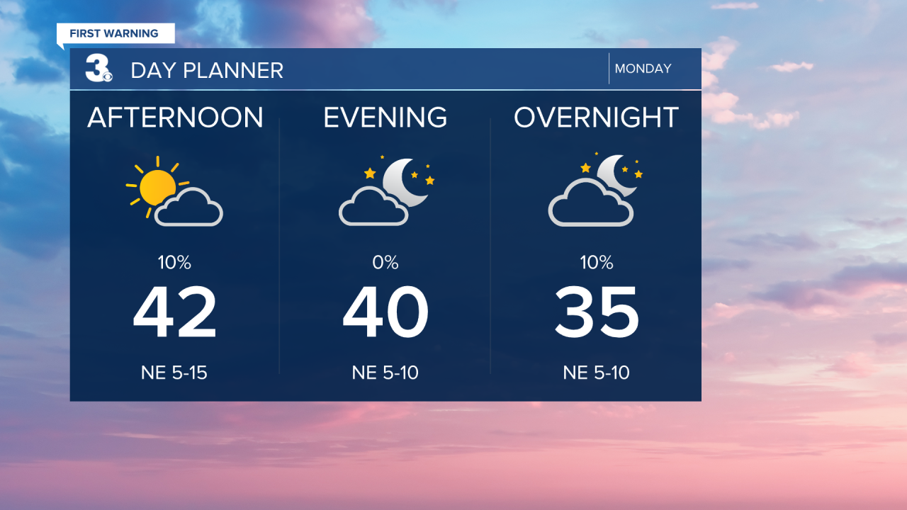
Clouds will start to break up this afternoon to evening. Highs will only reach the low 40s today, about 10 degrees below normal for this time of year.
Cloudy tomorrow with rain/sleet/snow showers. Expect mostly rain in NC, but a mix of precipitation in VA. Some snow accumulation is possible with the best chances on the Eastern Shore and Middle Peninsula. Highs will return to near 40 tomorrow.

Another chilly and soggy day on Wednesday. Expect mostly cloudy skies with scattered showers (mostly rain) and highs in the mid 40s.
Showers continue for Thursday, but we do warm up. High will jump to the upper 50s. Expect more sunshine on Friday, but it will be chilly again with highs in the low to mid 40s for Valentine’s Day.

Today: Mostly Cloudy, AM Showers. Highs in the low 40s. Winds: NE 5-15
Tonight: Partly Cloudy. Lows in the low 30s. Winds: NE 5-10
Tomorrow: Cloudy, Rain/Snow Showers. Highs near 40. Winds: E 5-15
Weather updates on social media:
Facebook: MylesHendersonWTKR
Instagram: @MylesHendersonWTKR
