


Meteorologist Myles Henderson’s First Warning Forecast
More humidity to end the week. Tracking rain for Saturday. Back to fall-like weather on Sunday.
Temperatures will climb to near 80 today with more humidity. Expect partly cloudy skies with an isolated shower possible. It will still be breezy but not as windy as the past few days.

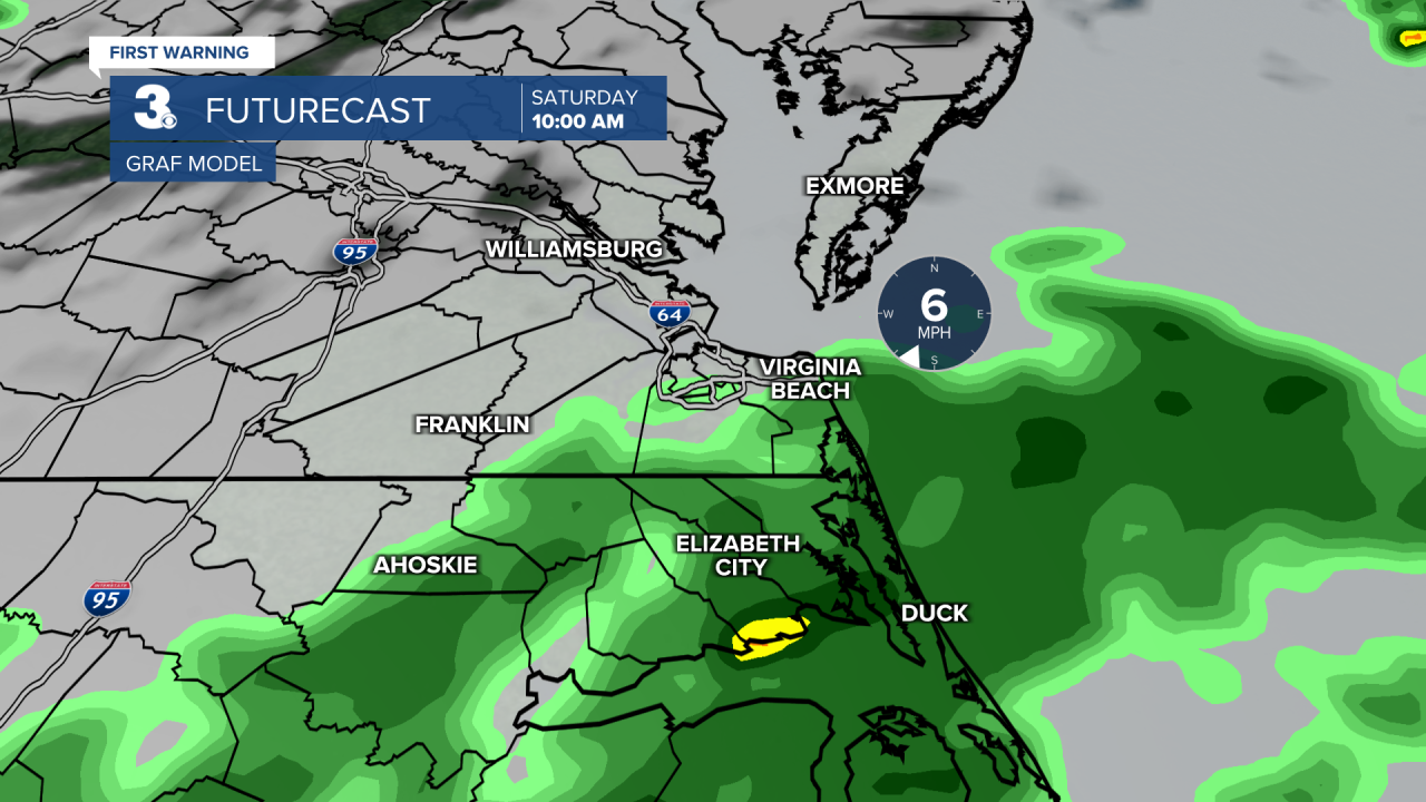
Expect mostly cloudy skies on Saturday with scattered showers and an isolated storm possible. We will see higher rain chances to the SE and lower chances to the NW. It will still be humid with highs in the upper 70s.
A cold front will sweep through later Saturday, bringing in cooler and less humid air. Highs will drop to the mid 70s with lower humidity on Sunday and a nice mix of sun and clouds.
We will see a stretch of beautiful weather next week. Highs in the upper 70s to low 80s, lower humidity, and lots of sunshine.
Today: Partly Cloudy. Highs near 80. Winds: NE 5-15
Tonight: Partly Cloudy. Lows in the upper 60s. Winds: E/S 5-10
Tomorrow: Mostly Cloudy, Showers. Highs in the upper 70s. Winds: SW 5-10
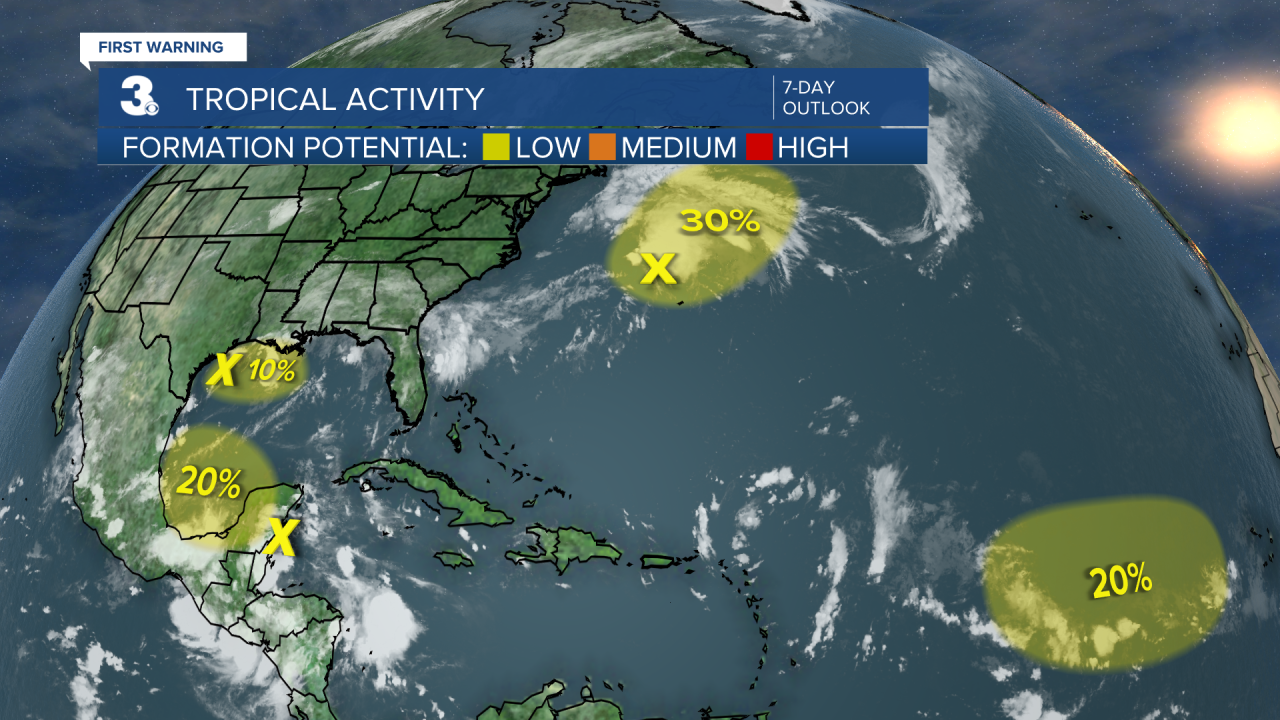
Tropical Update
Watching four areas for potential tropical development in the Atlantic Ocean and Gulf of Mexico.
Weather & Health
Pollen: Med-High (Ragweed, Grasses)
UV Index: 6 (High)
Air Quality: Good (Code Green)
Mosquitoes: Very High
Weather updates on social media:
Facebook: MylesHendersonWTKR
Instagram: @MylesHendersonWTKR
X (Twitter): @MHendersonWTKR
