


Meteorologist Myles Henderson’s First Warning Forecast
A cold and windy end to the work week. Warming up through the weekend to next week.
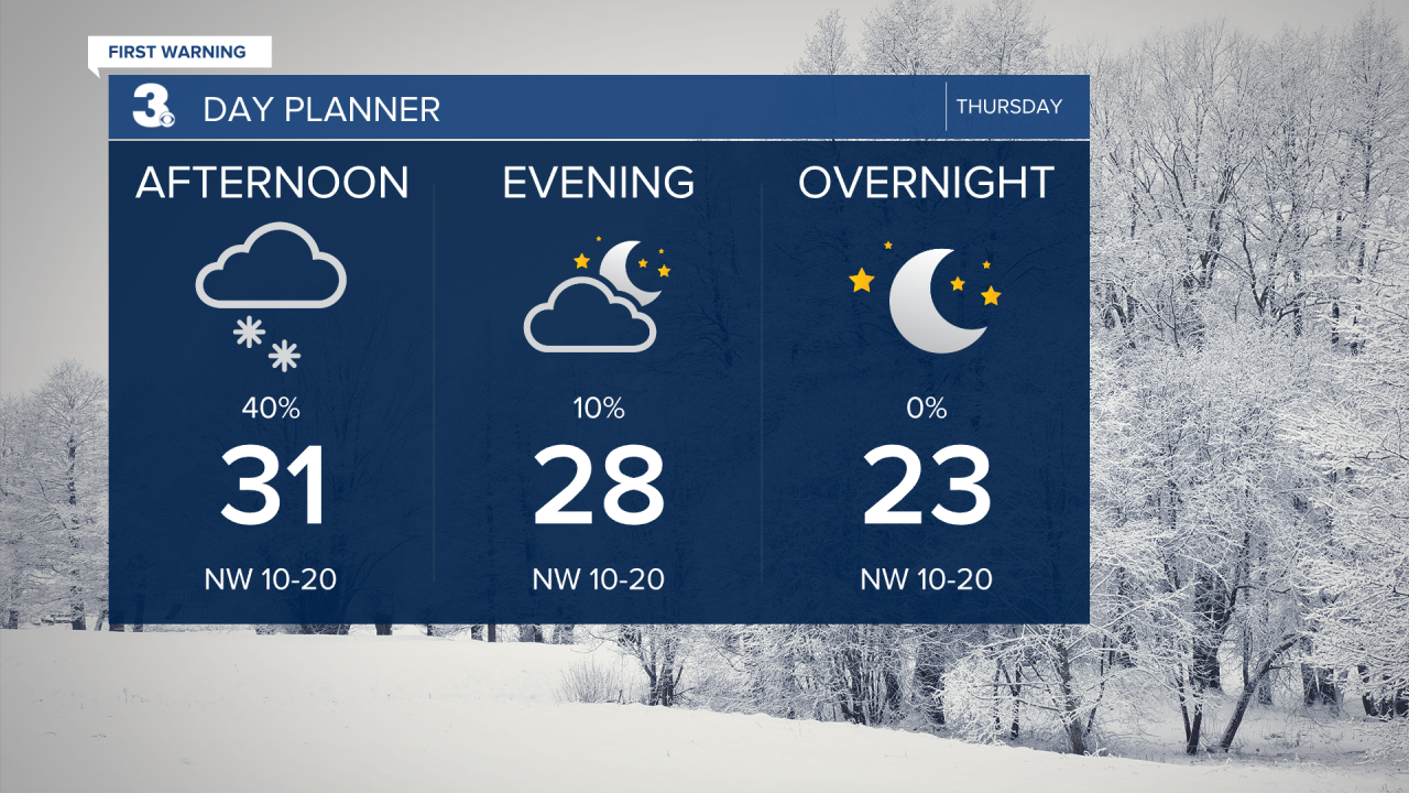
Scattered snow showers will linger today, but not as heavy or as widespread as yesterday. Any additional snow accumulation will be minimal (0.1” to 0.5”). Highs will return to the low 30s and it will be windy. Temperatures will drop to the low 20s tonight with a wind chill in the lower teens and single digits.
Sunshine will return for Friday, but it will still be chilly and windy. Highs will only reach the upper 30s, but it will feel about 10 degrees colder with the wind.
Get ready for a nice weekend with mostly sunny to partly cloudy skies and temperatures warming up. Highs will reach the low 40s on Saturday and the upper 40s on Sunday. We will climb into the 50s and near 60 next week.

Today: Scattered Snow, Windy. Highs in the low 30s. Winds: N/NW 10-20
Tonight: Clearing Skies, Windy. Lows in the low 20s. Winds: NW 10-20
Tomorrow: Mostly Sunny, Windy. Highs in the upper 30s. Winds: NW 10-20
Weather updates on social media:
Facebook: MylesHendersonWTKR
Instagram: @MylesHendersonWTKR
