Meteorologist Myles Henderson’s First Warning Forecast
Tracking rain for the midweek travel days. Cooler and dry for Thanksgiving.
A nice mix of sun and clouds today with more sun in the morning and more clouds in the afternoon. Highs will reach the upper 50s today with a NE wind at 10 to 15 mph.
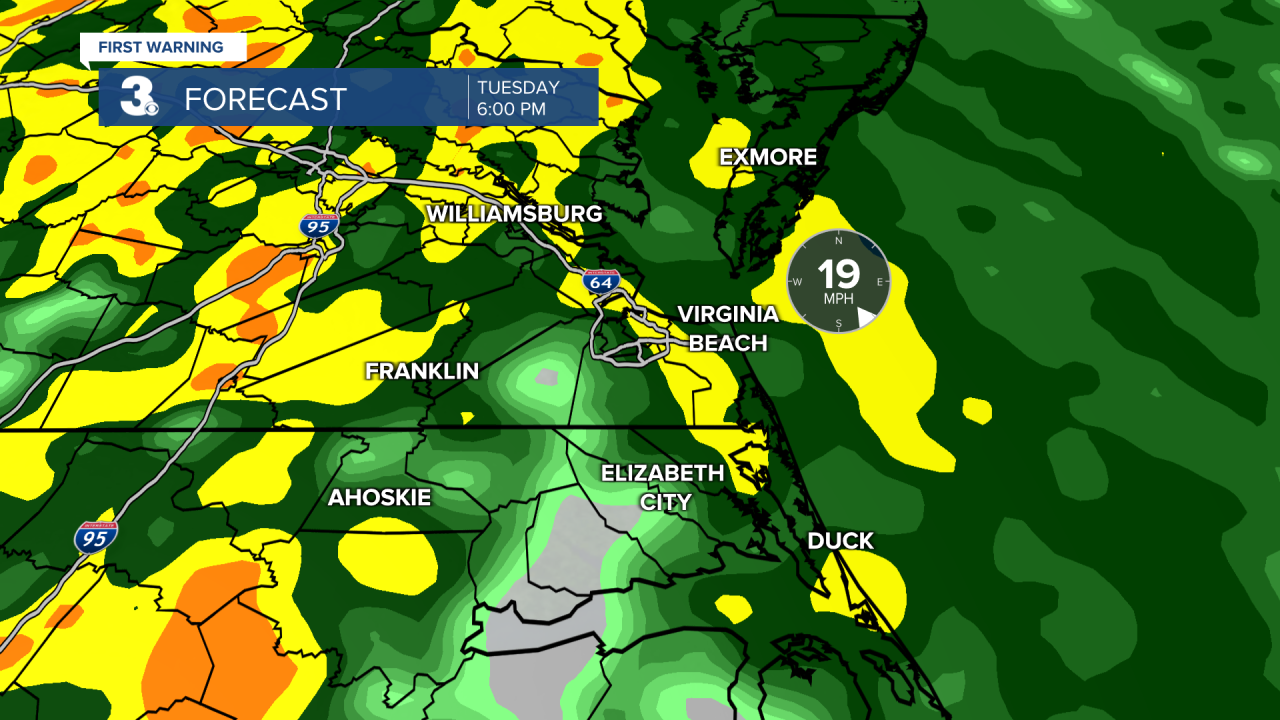
Tuesday is looking like a washout, especially the second half of the day. Expect cloudy skies tomorrow with rain building in through the morning. Widespread rain for the afternoon to evening with SE winds gusting to near 30 mph. Mainly locations could receive over 1” of rainfall. Highs will reach the mid 60s tomorrow.

Rain will move out Wednesday morning and we will see the clouds breaking up in the afternoon. It will still be breezy with NW winds at 10 to 15 mph. Highs will return to the low and mid 60s.
Expect lots of sunshine for Thanksgiving with highs in the upper 50s and lighter winds. Another round of rain is likely Friday AM to Saturday AM.

Today: Partly Cloudy, Breezy. Highs in the upper 50s. Winds: NE 10-15
Tonight: Mostly Cloudy, Breezy. Lows in the upper 40s. Winds: E 10-15
Tomorrow: Cloudy, Rain, Windy. Highs in the mid 60s. Winds: SE 10-20G30
Weather & Health
Pollen: Low
UV Index: 3 (Moderate)
Air Quality: Good (Code Green)
Mosquitoes: Low
Tropical Update
Watching a small area of low pressure located over the central Caribbean Sea. Dry air in the surrounding environment is likely to prevent significant development of this system while it drifts slowly west.
* Formation chance through 48 hours: Low (10%)
* Formation chance through 7 days: Low (10%)
A non-tropical area of low pressure is forecast to develop along a front over the central portion of the Atlantic during the next couple of days. This system could separate from the front and gradually acquire some tropical or subtropical characteristics during the latter part of this week while it moves generally east across the central Atlantic.
* Formation chance through 48 hours: Low (0%)
* Formation chance through 7 days: Low (20%)
Weather updates on social media:
Facebook: MylesHendersonWTKR
Twitter: @MHendersonWTKR
Instagram: @MylesHendersonWTKR


