


Derrah Getter's First Warning Forecast
This evening some spots will see hazy conditions but most of the Canadian wildfire smoke clears overnight. Lows will be in the upper 50s and low 60s.

Much brighter and drier conditions take shape this week. Highs Tuesday jump up to the low to mid 80s. There will be plenty of sunshine all day long.
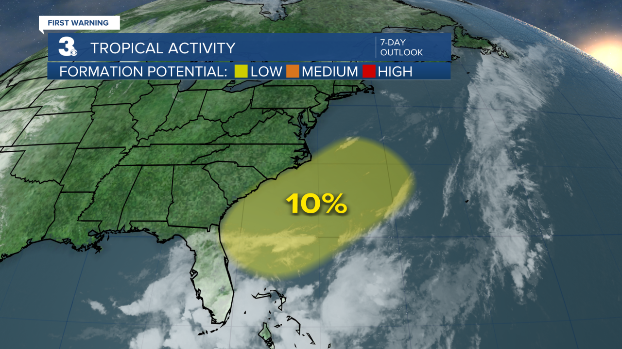
By the end of the week highs will hover near 90 degrees. Rain chances return as well. The National Hurricane Center is monitoring a potential area of development along the southeast coast. A cold front will sweep in and push the moisture out to sea. Regardless of development we'll see isolated storm chances late this week.

Let's connect on social media!
Forecaster Derrah Getter:
For weather updates on Facebook: HERE
For weather updates on X: HERE
Follow me on Instagram: HERE
Check out the Interactive Radar on WTKR.com: Interactive Radar
