


Chief Meteorologist Patrick Rockey’s First Warning Forecast
If you like October weather, you're certainly enjoying our taste of fall here in early September. In fact, our Tuesday high temperatures is our normal high in one month, on October 3rd.

An area of low pressure off the Carolina coast is joining forces with high pressure over the Great Lakes to bring us a gusty northeast breeze.
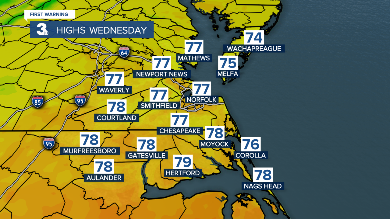
Water temperatures right now are in the 70s. That northeast wind off of the water is keeping our air temperatures locked in the 70s, as well.
By later in the work week, we'll start to pick up a more humid air mass from the Gulf of Mexico. That will send humidity levels higher. We're expecting dew points in the lower 70s.

But temperatures will stay reasonably low, meaning we aren't talking about uncomfortable heat index values.
We are talking about a decent chance for rain, thanks to a low off the coast and an approaching cold front.

Expect a chance for a few showers late Friday, with better chances for showers (and maybe a few thunderstorms on Saturday.
Behind that cold front, humidity levels and temperatures will drop for the second half of the weekend. Stay tuned.
