Chief Meteorologist Patrick Rockey’s First Warning Forecast
If the weather had a pause button, I think a lot of us would be pushing it right about now.
But there is no pause button and we have some major weather changes coming our way.
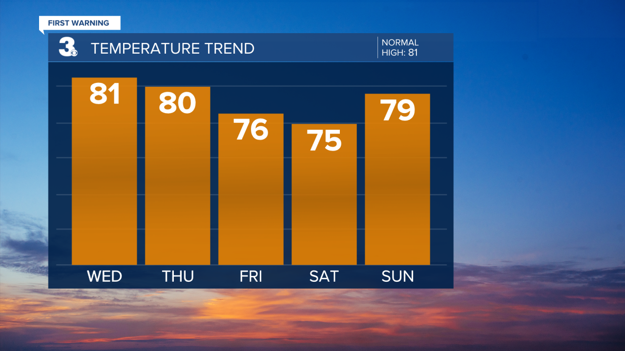
Wednesday will be another day with plenty of sunshine and pleasant temperatures.

But you'll start to notice some changes on Thursday, as clouds begin to stream in.
Those clouds are the first signs of a developing coastal storm that will impact our weekend.
That storm will develop off the east coast of Florida, head north and push inland along the Carolina coast.

As it heads our way, the winds pick up and the clouds will thicken on Friday. By the afternoon and evening, it'll be breezy with bands of showers moving in.
Saturday will be the soggiest day, with wind-whipped showers and even a few thunderstorms.
Those gusty northeast and east winds will bring us the threat for tidal flooding, beginning Friday afternoon and possibly lasting through the weekend.

September is historically our third wettest month of the year. But it has been unusually dry this year. That could change in a big way this weekend.

Our main longer-range forecast models are both suggesting we could see a good dose of rain. Those heavier downpours could also cause some localized flooding.

The showers and storms will become more scattered on Sunday and we may even see some sunshine break through as our storm moves away.
The work week is looking a lot drier, but we could still see a few showers on Monday and Tuesday. Stay tuned.


