Meteorologist Kristy Steward's First Warning Forecast
Happy Thursday evening! We felt a little more like Spring today with temperatures reaching the low 60s in most areas. Temperatures continue to climb for St. Patrick’s Day, but a system will also bring us rain and eventually another big cool down.
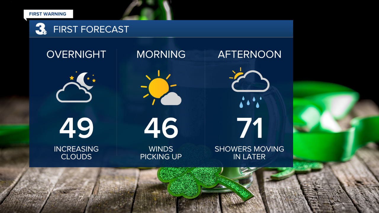
Ahead of this system, there will be passing clouds tonight. We’ll wake up to lots of sunshine Friday morning with temperatures in the mid 40s. Winds will begin picking up too. 15-25 MPH southwest winds gusting to 35 MPH. That strong southwesterly flow will help high temperatures soar into the low 70s by Friday afternoon. A good chunk of St. Patrick’s Day will be dry, but it’s not a bad idea to keep an umbrella or rain jacket on hand.

Spotty showers are possible Friday afternoon. Rain starts to become more scattered around 6 PM and more widespread with heavier downpours in the overnight hours, likely after 10 PM. These widespread to scattered rain showers will continue throughout the night and into Saturday morning.

Behind the cold front of this system, Canadian high pressure starts to settle in, reinforcing the cold. Highs on Saturday will be in the mid 50s. Highs on Sunday cool to the upper 40s. At least there will be lots of sunshine during this cold spell Sunday into Monday.
The first day of Spring falls on Monday, but it won’t feel like Spring with temperatures near freezing Monday morning rising into the upper 40s by the afternoon.

The rest of the workweek, there will be a gradual warming trend. Highs in the mid 50s Tuesday and Wednesday finally reach seasonable highs in the low 60s Thursday. Pretty much all of the workweek looks dry with plenty of sunshine as we stay under the influence of that high pressure system. There’s a slight chance for showers Wednesday and winds pick up again.
Connect with Meteorologist Kristy Steward:
FACEBOOK
TWITTER
INSTAGRAM


