


Meteorologist Kristy Steward's First Warning Forecast
Good Sunday evening! We’ve still got some of the lingering cloud cover from Ophelia’s remnants around, but heading into the workweek, we’ll be dealing with an unsettled weather pattern. That will keep rain chances and tidal flooding in the forecast.
Tonight, we could have a spotty shower or two from the leftovers of Ophelia as it continues to dissipate and move north. Lows will be in the mid 60s.
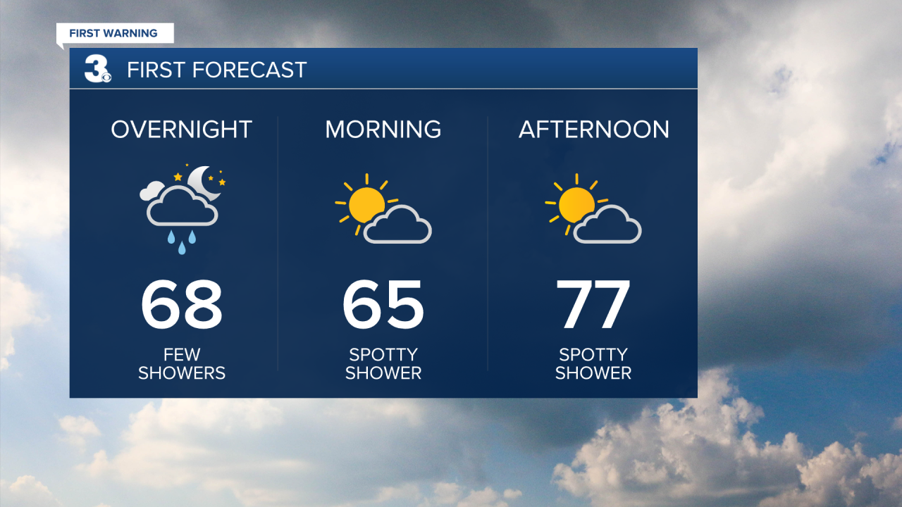
Monday will be very similar to what we saw earlier today. A mix of sun and clouds, a few spotty showers/drizzle, and highs in the mid to upper 70s.
Tuesday through Friday is when we’ll be in a very unsettled stretch. Expect more clouds than sunshine and isolated to widely scattered showers throughout this period. Not a washout event, but you’ll probably want to keep an umbrella close by this week.

High temperatures all week will be a little cooler in the low 70s.

With this disturbance overhead, winds will become breezy and from the northeast, so tidal flooding is going to be another concern again starting Tuesday.
Connect with Meteorologist Kristy Steward:
FACEBOOK
TWITTER
INSTAGRAM
