


Chief Meteorologist Patrick Rockey's First Warning Forecast
The first week of fall will include plenty of falling rain as a series of weak storm systems cross the region.

The first of those storm systems moves through early on Tuesday, bringing a decent chance for rain, mainly early in the day.
More mainly light showers will move through early on Wednesday. Expect more clouds than rain for the first half of the work week.
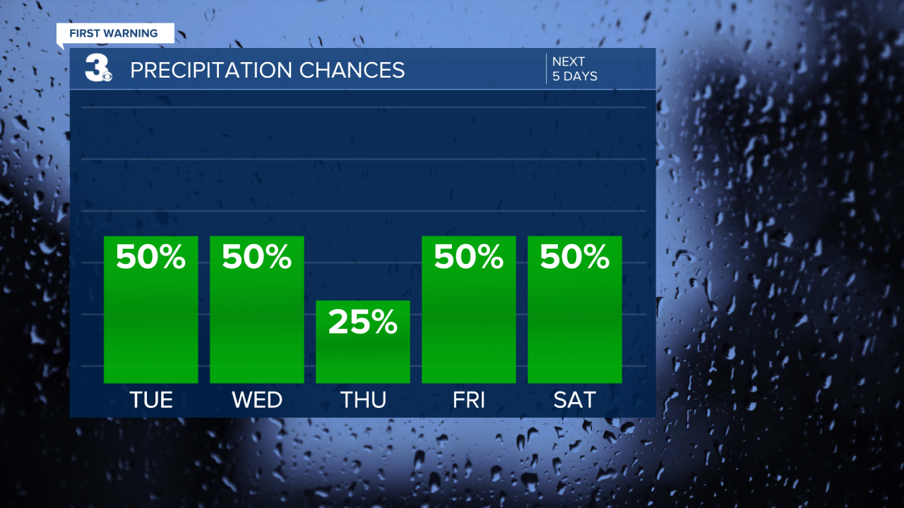
The end of the work week and start of the weekend may include some tropical moisture. A system that's expected to grow into Hurricane Helene is gaining strength in the Gulf of Mexico. It's expected to make landfall near the Big Bend of Florida and affect the Carolinas.

Chances are we'll be close enough to be affected by the storms with storms and storms Friday and into Saturday. But there are still lots of question marks. Stay tuned.
