Meteorologist Kristy Steward's First Warning Forecast
Good Thursday evening! The cold front yesterday brought us nicer weather. Now we’re between Hurricane Lee and a high pressure system, so winds will be picking up and making the water not so pleasant to be around the next few days.
Tonight, temperatures will drop into the mid 60s and winds continue to pick up a little more. Expect 15-25 MPH north-northeast winds gusting to 35 MPH throughout Friday. Temperatures will be a bit cooler in the mid 70s Friday.

Those strong NNE winds will bring us tidal flooding during the next several high tide cycles through Saturday evening. Expect around half to one foot of inundation. Typical flood-prone areas will experience tidal flooding.

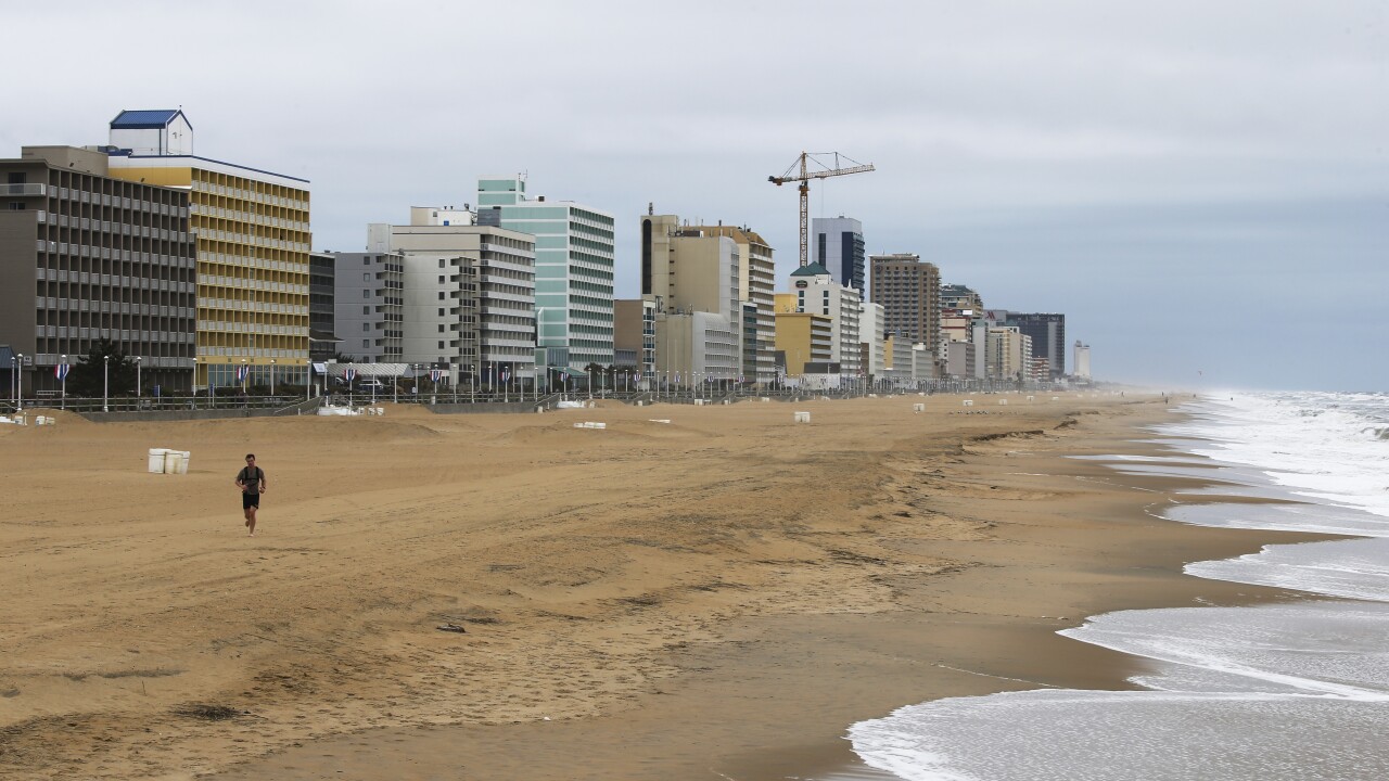
It will also be rough on the water the next couple of days. 9-11’ breaking waves on the Virginia side of the Atlantic and 10-14’ breaking waves on the North Carolina side. This will cause ocean overwash for HWY 12 in the Outer Banks and some beach erosion. Gale warnings and small craft advisories are in place. It’s recommended to stay out of the water through Saturday.
On land, this weekend is shaping up to be beautiful! Great weather to attend the several events going on in the community. High temperatures will be in the low 80s Saturday and mid 80s Sunday. Lots of sunshine Saturday with some passing clouds Sunday around a weaker cold front. We could have a few spotty showers Sunday evening into early Monday morning.

Next week will feel more like Fall. High temperatures each day in the upper 70s to low 80s. Staying dry with a mix of sun and clouds too.
Connect with Meteorologist Kristy Steward:
FACEBOOK
TWITTER
INSTAGRAM


