


Meteorologist Kristy Steward's First Warning Forecast
Happy Saturday evening! The warming trend continued today as highs reached the upper 60s to low 70s. We stay on this warming trend well into next week.
Tonight, that offshore stationary front will bring us passing clouds that persist into Sunday morning. Lows drop into the mid 40s, which will be around our dew point and winds will stay light, so patchy fog could form late tonight into Sunday morning, especially in areas that see a mostly clear sky overnight.
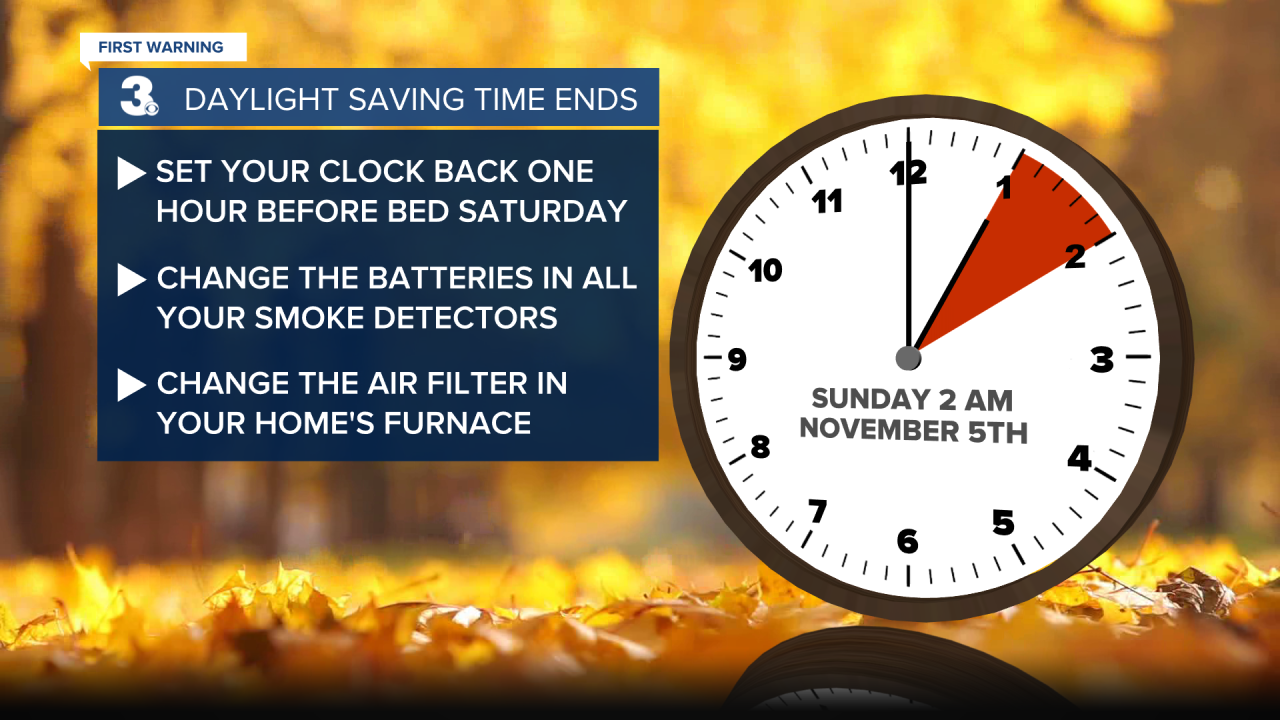
Don’t forget! Daylight Saving Time ends tonight. We “fall back” at 2 AM and you get an extra hour of sleep! While you turn your clocks back, it’s also a good time to change your home’s air filter and smoke detector batteries.
Sunday will be another great day! Passing clouds, but staying dry and warming back up to around 70°. Same temperatures on Monday, just with more sunshine.
Tuesday is when temperatures jump into the mid 70s. We drop a few degrees into the low 70s Wednesday before soaring to near 80° Thursday. Winds pick up Thursday and Friday ahead of a cold front.

This cold front passes through Friday. Temperatures will be cooling down behind the front. Highs in the mid 60s Friday and right around 60° on Veterans Day. We’ll also see some scattered rain showers. The timing of this rain is a bit uncertain, but currently it’s looking like Friday evening throughout the day Saturday.
Connect with Meteorologist Kristy Steward:
FACEBOOK
TWITTER
INSTAGRAM
