


Meteorologist Kristy Steward's First Warning Forecast
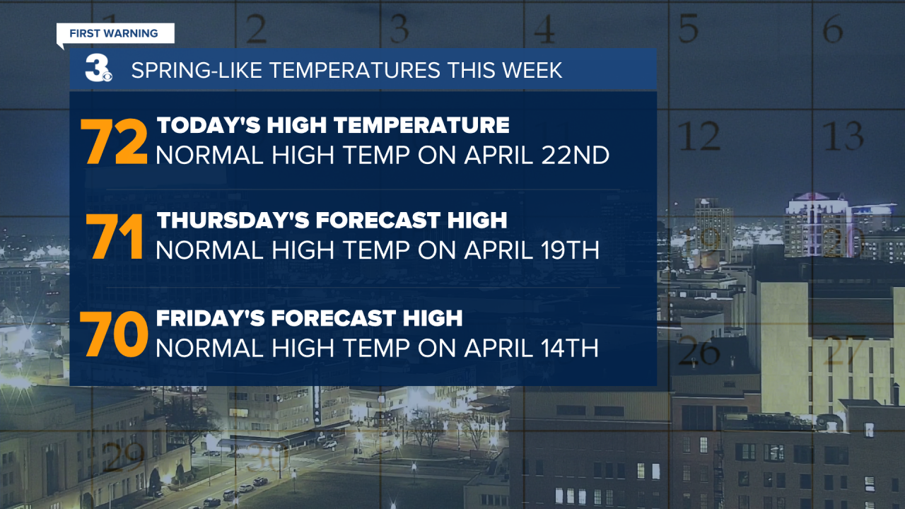
Good Wednesday evening! Temperatures soared into the low 70s today! We’ll have a couple more days in the 70s before temperatures drop. It’s also time to break out the umbrellas!
Clouds increase tonight ahead of an unsettled pattern. Temperatures stay warm tonight, waking up to temperatures in the upper 50s to low 60s Thursday morning. Despite a cloudy day, temperatures will return to the low 70s by the afternoon. There will be some spotty showers around Thursday, but not a lot of rain and any one location should experience a decently dry day.
Isolated to scattered rain showers Friday. Still not a lot of rain expected. High temperatures will again be in the low 70s.
A cold front moves through Friday night, dropping our high temperatures into the mid 50s for the weekend. Immediately following the cold front, a developing area of low pressure will be in the vicinity, bringing us scattered rain showers throughout the weekend.

We dry out Monday morning and start to see the sunshine again. Temperatures will be cooler to start the workweek. Highs Monday and Tuesday in the mid 40s. Then, we begin to warm again. Highs near 50° Wednesday.
Connect with Meteorologist Kristy Steward:
FACEBOOK
TWITTER
INSTAGRAM
