


Meteorologist Kristy Steward's First Warning Forecast
Happy Thursday evening! We are still stuck in this wash, rinse, repeat weather pattern for a couple more days before sunshine returns.
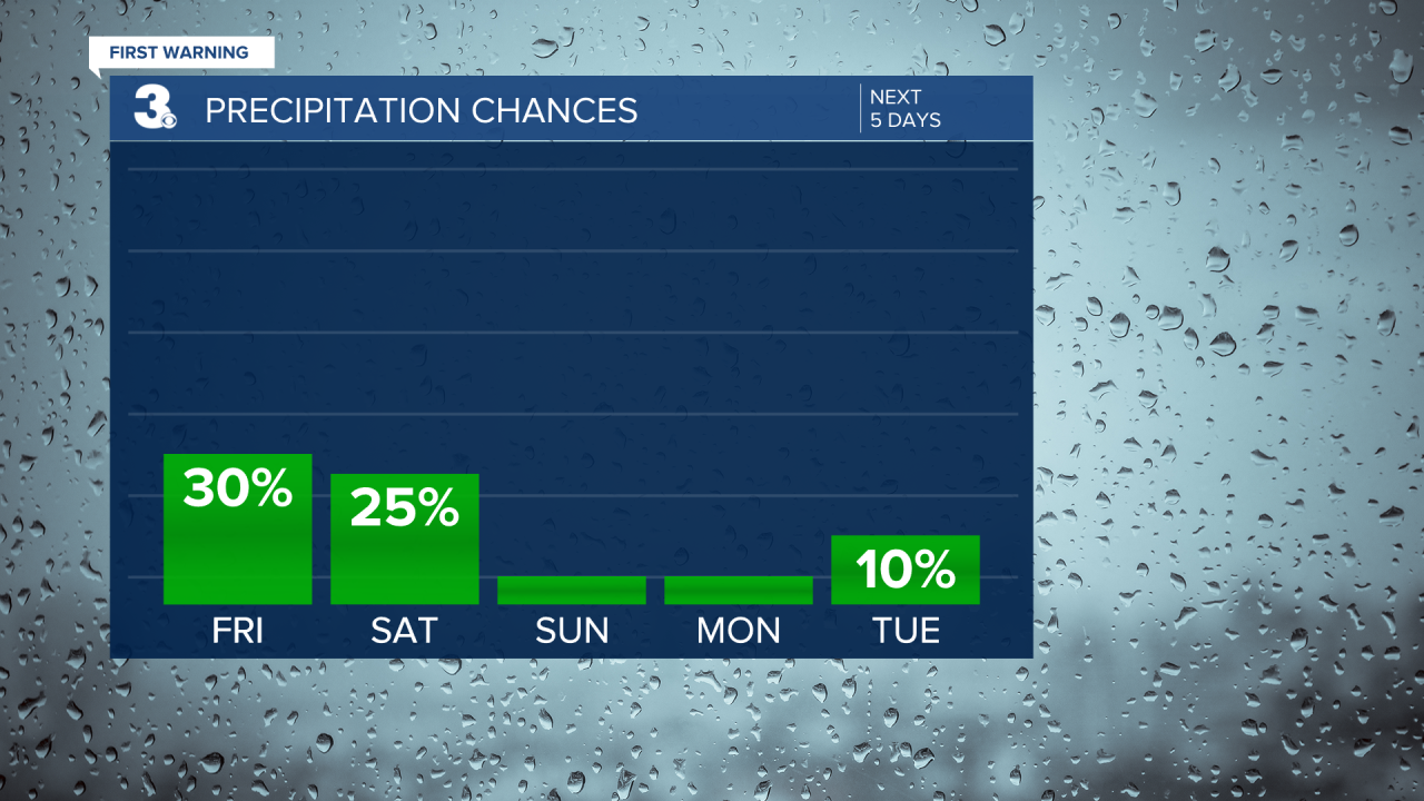
Friday will again have more clouds than sunshine. A few spotty showers. High temperatures a degree or two warmer in the low to mid 70s. Very similar weather Saturday too.
For the next few days, north-northeasterly winds will remain breezy, still bringing us tidal flooding over the next several high tide cycles. Up to 2 feet of inundation is possible.

Finally, on Sunday, we say goodbye to our unsettled pattern as high pressure takes over control. We’ll see tons of sunshine and dry conditions from Sunday throughout most of the work week. Temperatures will gradually rise from the mid 70s Sunday to near 80° Thursday.

Connect with Meteorologist Kristy Steward:
FACEBOOK
TWITTER
INSTAGRAM
