Meteorologist Kristy Steward's First Warning Forecast
Happy Thursday evening! We had a very soggy commute this morning, then dried out for the second half of the day. We aren’t done with the rain just yet, so keep that rain gear out! You’ll need it for Friday.
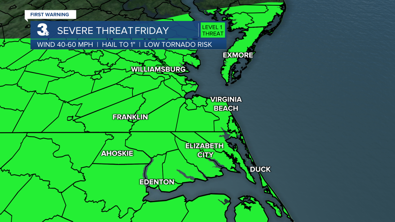
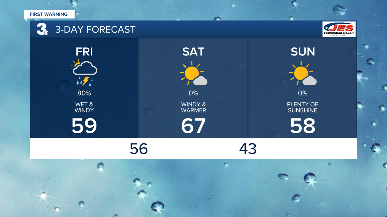
A low pressure system will pass just to our northwest, bringing us a couple rounds of rain Friday and stronger winds. We’ll have light to moderate scattered rain showers throughout the daytime hours with a few hour dry break in the early evening before a line of storms moves through later Friday evening. In that line, some storms could become strong to severe. Everyone is under a Level 1 of 5 risk. The main concern is damaging wind gusts. Throughout Friday and into the night, there will be 15-25 MPH east winds gusting up to 45 MPH. High temperatures will be cooler, near 60° Friday.

We dry out Friday night and clouds clear out. We’ll be left with a lot of sunshine and gusty winds Saturday. However, temperatures will be warmer in the mid to upper 60s.
We’ll be 2 for 2 for good days this weekend! Sunday will be another day filled with lots of sunshine, just a little cooler, highs back in the upper 50s.

We keep this sunny and relatively warm trend heading into the workweek. Highs in the low 60s Monday climb to near 70° Tuesday. Then, a dry cold front passes through and knocks us back into Winter. Highs Wednesday in the mid 50s continue to drop to around 50° Thursday. Wednesday night into Thursday morning will get chilly. Lows in the upper 30s.
Connect with Meteorologist Kristy Steward:
FACEBOOK
TWITTER
INSTAGRAM


