Chief Meteorologist Patrick Rockey’s First Warning Forecast
The weekend is here, so, of course, we're tracking rain. But the good news is that it's not looking like a washout. There will be some long periods of dry weather.
It looks like the rain will arrive late Friday night and we can expect the most widespread rain early on Saturday morning.

Showers become more widely scattered as we head through the day with periods of dry weather.
As an area of low pressure slips by to our south, we can expect more showers and storms to move in during the afternoon and evening.
Our best bet for storms, and possibly even some severe weather, will be across eastern North Carolina, with lower rain chance the farther north you go.

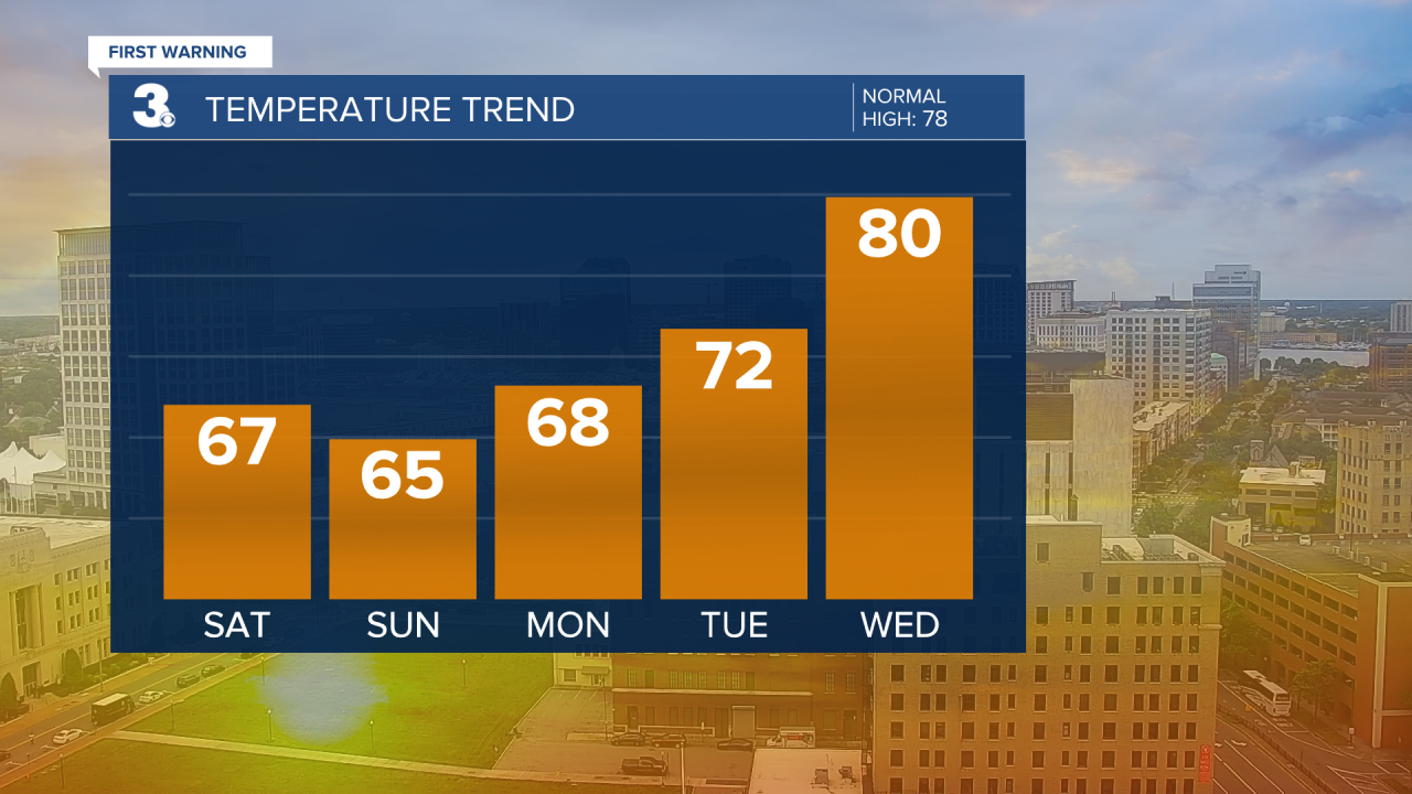
Expect highs on Saturday in the mid-to-upper 60s.
It looks like Sunday will start off with showers, with drier weather returning into the afternoon. It'll be breezy and cool, with highs dropping only into the low-to-mid 60s. And the gusty northeast winds will make it feel even cooler.

Of course, dry and warmer weather will return heading into the workweek.
We'll be climbing into the 80s by midweek. Stay tuned.


