Meteorologist Kristy Steward's First Warning Forecast
Good Thursday evening! It’s the start of hurricane season and fittingly, Tropical Depression Two has developed in the Gulf of Mexico by Florida. It will likely become Tropical Storm Arlene by Friday afternoon. No local impacts as it will track south.

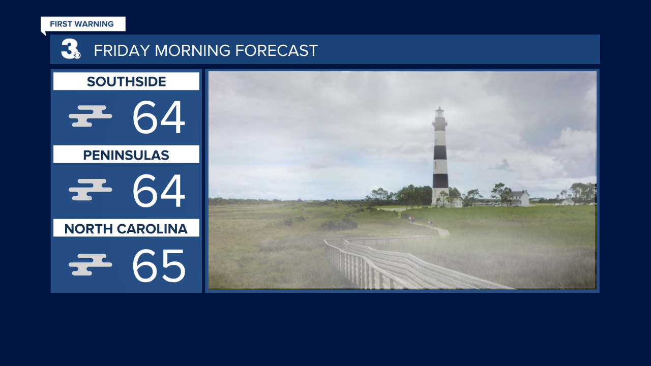
Locally, we will see warmer temperatures and finally some sunshine. Tonight, dense patchy fog will form and likely impact your Friday morning commute. Temperatures will be in the mid 60s when you wake up.

After the fog lifts, we should be able to see some sunshine Friday afternoon, helping temperatures warm into the mid 70s. Friday is looking mostly dry, but spotty showers could still be around as that low is still slowly dissipating just offshore.
Saturday gets a couple degrees warmer in the upper 70s. A cold front Saturday evening/night could bring isolated to scattered showers with it, especially inland.
Sunday is the cooler day this weekend. Behind the front, highs will drop into the upper 60s. It will also be a breezy, but dry day with a mix of sun and clouds.
Another cold front approaches Tuesday. This will bring us another chance for isolated showers ahead of it both Monday and Tuesday. Despite the rain chance, we should still have some sunshine around.

Ahead of the front, temperatures warm into the upper 70s. Behind it, temperatures cool a couple of degrees into the mid 70s for the middle of the week. Midweek looks dry and partly cloudy.
Connect with Meteorologist Kristy Steward:
FACEBOOK
TWITTER
INSTAGRAM


