


Meteorologist Kristy Steward's First Warning Forecast
Happy Wednesday evening! It’s been a dreary day with scattered rain and clouds, but this system is clearing out and we’re heading into a drier and cooler stretch of weather to end 2023.
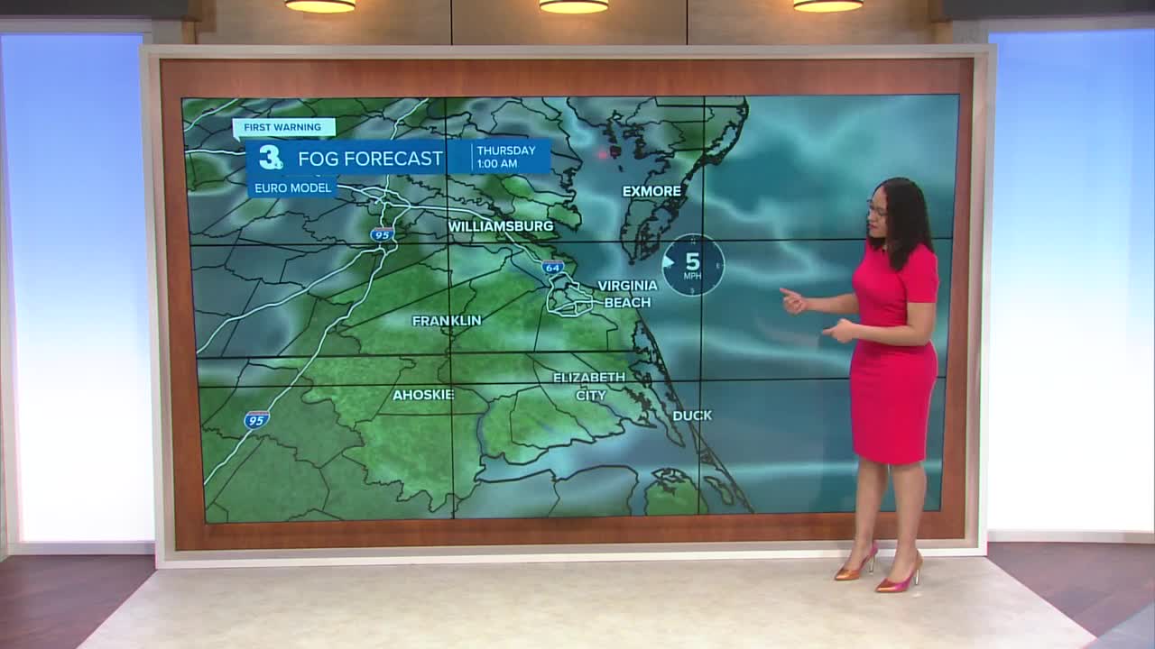
Lingering spotty showers this evening will clear out by Midnight. Clouds linger overnight, keeping temperatures on the warmer side for this time of year. Lows in the low 50s.
A lot of cloud cover sticks around through most of Thursday. Highs warm into the low 60s. It’ll be a mostly dry day, but a stray shower can’t be ruled out.

We’ll get to enjoy a bit more sunshine Friday. Highs a little cooler in the mid to upper 50s. Spotty showers are possible in the evening primarily across our northern communities.
This holiday weekend keeps with the dry and partly cloudy trend. Highs in the low 50s, lows in the mid 30s.
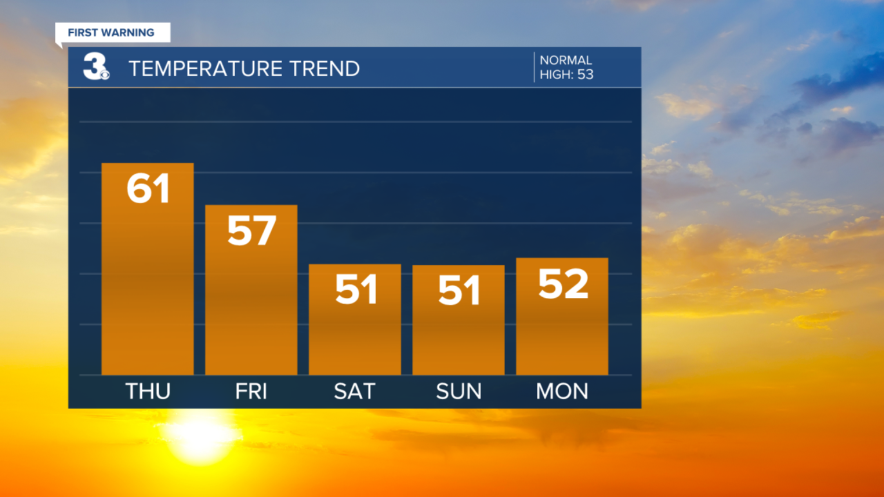
When you return back to work in the new year on Tuesday, you might need to grab an umbrella. Scattered rain showers are possible. It will also be cooler with highs in the mid to upper 40s and breezy. We dry out Wednesday and temperatures rise back into the seasonable low 50s.
Connect with Meteorologist Kristy Steward:
FACEBOOK
TWITTER
INSTAGRAM
