


Meteorologist Kristy Steward's First Warning Forecast
Happy Friday evening! It was a gorgeous day to be outside as highs climbed into the mid 70s. A cold front will bring us falling temperatures throughout this weekend.
The cold front will pass through early Saturday morning. Ahead of it, we’ll have light spotty showers this evening and tonight, but a lot of areas will be able to stay dry. Lows drop into the mid 50s.
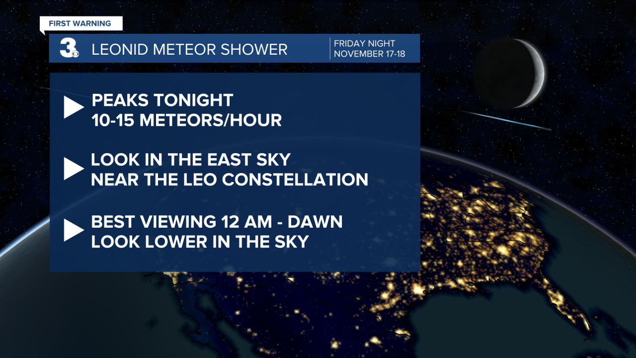
Tonight is the peak of the Leonid Meteor Shower, so if you can catch a break between the clouds, you might be able to see a meteor. Look to the east sky in the Leo the lion constellation. Expect about 10-15 meteors per hour. Saturday night looks like a better night to spot meteors as it will be clear.
Saturday clouds will clear throughout the day and winds will pick up. North-northeasterly winds 10-20 MPH gusting to 30 MPH. High temperatures will be much cooler, but still above-average for this time of year in the mid 60s. Overnight lows cool into the low 40s.
This entire weekend will be dry. Sunday will be full of sun, but even cooler. Highs right around 60°. However, winds will be much lighter, so it will probably feel about the same as Saturday.

Clouds increase ahead of our next system Monday. Rain holds off until Tuesday. Scattered showers will persist much of Tuesday into earlier Wednesday morning along with stronger winds. Temperatures rise into the mid 60s ahead of a cold front that brings us a cooler holiday.

This system clears out in time for Thanksgiving. We’ll have a dry, sunny and cool holiday. Highs on Thanksgiving drop to the low to mid 50s. We stay mostly dry throughout Black Friday too.
Connect with Meteorologist Kristy Steward:
FACEBOOK
TWITTER
INSTAGRAM
