

Meteorologist April Loveland's First Warning Forecast
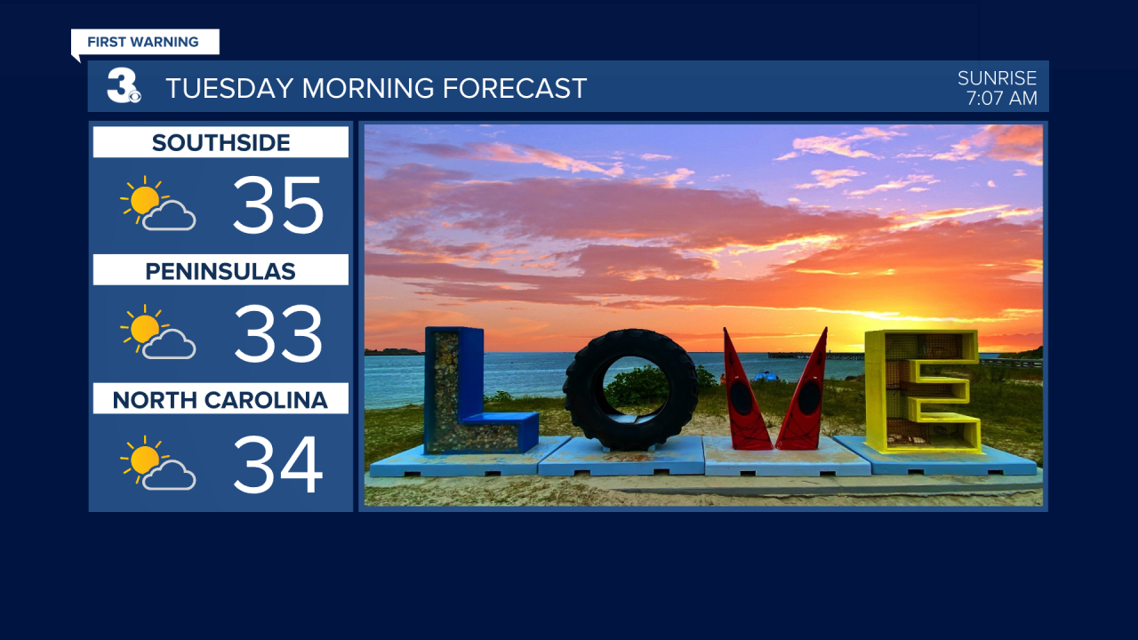
Skies will be partly cloudy overnight with lows dipping into the low and mid 30s.
Layer up if you have an early morning start Tuesday. It's been awhile since we've woken up in the 30s. Temperatures will warm to the mid and upper 40s with building clouds throughout the day.
Scattered showers will be possible during the morning hours on Wednesday with highs near 50.
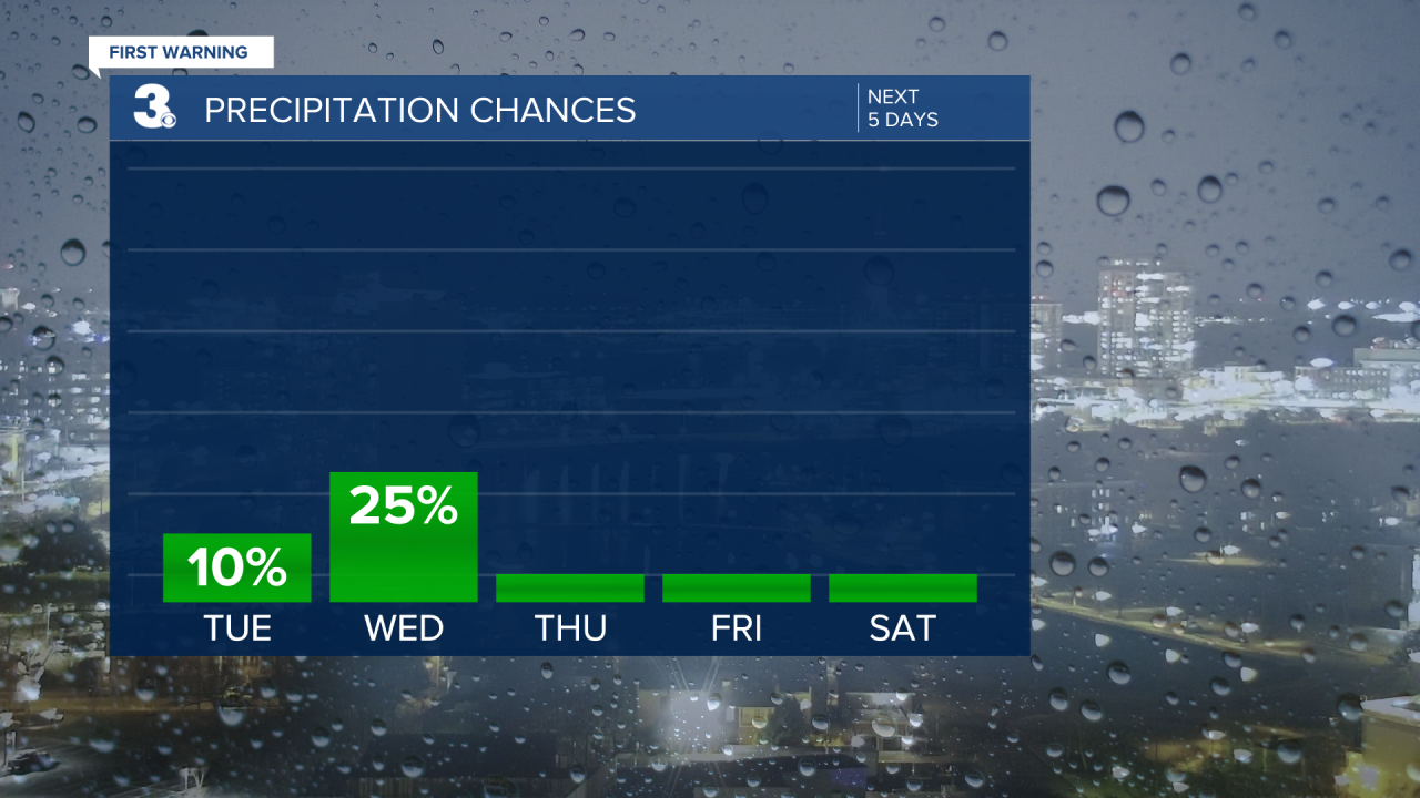
Partly cloudy with highs in the low 50s on Thursday.
We'll warm to the mid 50s with a nice mix of sun and clouds on Friday.

If you're heading out to the Polar Plunge on Saturday, temperatures will warm to the upper 40s. Right now, the water temperature is around 46 degrees.
Mostly sunny skies once again on Sunday. Temperatures will be a few degrees cooler in the mid 40s.
A few afternoon showers will be possible to kick off the work week. Temperatures will warm to the mid 40s.

Meteorologist April Loveland
For weather updates on Facebook: HERE
Follow me on Twitter: HERE
Follow me on Instagram HERE
Check out the Interactive Radar on WTKR.com: Interactive Radar
