Meteorologist Kristy Steward's First Warning Forecast
Happy Saturday evening! We finally broke our cool and soggy Saturday streak today! It was a beautiful day with lots of sunshine and temperatures in the 60s.

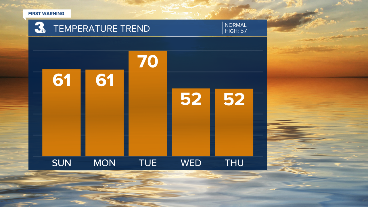
Winds continue to die down this evening and we stay with a clear sky. Lows reach the lower 40s. Sunday stays pleasant. Plenty of sunshine and temperatures in the low 60s.
We continue on a dry stretch throughout the entire workweek and stay with a mix of sun and clouds each day. Highs in the low 60s Monday jump to around 70° Tuesday ahead of a dry cold front. This front will bring us stronger winds Tuesday into Wednesday and cool us down to highs in the low 50s Wednesday-Friday.

A system next weekend looks to bring us isolated showers Friday night into Saturday. It will also bump temperatures up a few degrees into the more seasonable mid 50s for Saturday.
Connect with Meteorologist Kristy Steward:
FACEBOOK
TWITTER
INSTAGRAM


