Meteorologist Kristy Steward's First Warning Forecast
Happy Friday evening! We had an active late afternoon today with scattered thunderstorms developing and a couple of them turning severe. Our severe threat is now over and we’ll be able to enjoy quieter weather for Mother’s Day weekend.
Spotty showers continue tonight into earlier Saturday morning. Our coastal VA communities are under a Coastal Flood Advisory until 3 AM Saturday, not for the rain, but for tidal flooding.

Tidal flooding will bring about 1 foot of inundation during high tide 12 AM Sunday, so watch out for that, especially in typical flood-prone areas. More nuisance tidal flooding is expected during high tide at 12 PM Saturday and 1 AM Sunday.

Tonight, we might be able to see some breaks in the clouds if you want to try to view the Aurora Borealis. A solar storm could allow the northern lights to be visible as far south as here. The best time to look up and see if you can catch a break in the clouds will be 2 AM - 5 AM Saturday. There’s another potential very early Sunday morning. Unfortunately, I think we have slim chances at viewing the lights, but it might be worth a shot to step outside and see what’s visible!
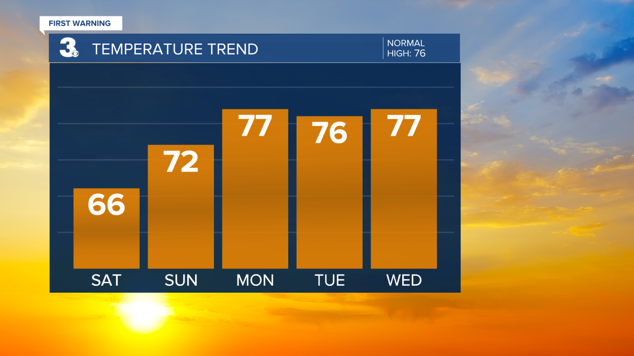
Saturday looks mostly dry. High temperatures much cooler in the mid 60s. Later in the evening and through the night, we could have another round of scattered rain showers, but nothing to ruin your weekend plans.
Mother’s Day is looking great! A little warmer in the low 70s. A mix of sun and clouds and mostly dry.

The workweek will warm to seasonable highs in the mid to upper 70s each day. Monday stays dry, but then we move into another unsettled stretch. The rest of the workweek from Tuesday on has daily chances for scattered showers and thunderstorms.
Connect with Meteorologist Kristy Steward:
FACEBOOK
X
INSTAGRAM


